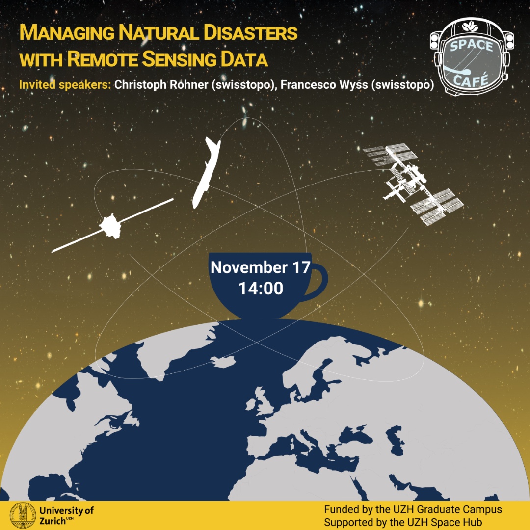
Managing Natural Disasters with Remote Sensing Data

How can satellite data assist in case of natural disasters?
Rapid mapping is a service from swisstopo for a timely provision of aerial or satellite imagery in case of natural disasters. This data is crucial to successfully document and manage such events. At our next Space Café event, two speakers from swisstopo and former students of the GIUZ will talk about the diverse applications of remote sensing data within the federal administration.
Join us on November 17, 2022, at 14.00 on Irchel Campus (Y10 E-36) to learn more about swisstopo and their use of remote sensing data.
Registration (see end of the page) is appreciated for the planning of the catering but spontaneous participation is welcome.
More about Space Café event series.
Talk
Although remote sensing data are ubiquitous today, knowledge about and access to satellite products is limited, especially regarding data from high-resolution commercial satellites. For more than 40 years, the National Point of Contact for Satellite Images (NPOC) has had the task of facilitating access to satellite data for authorities, companies, research institutions, and private persons within Switzerland and of strengthening the position of satellite observation.
As part of the "Image data and Crisis Information" group, the staff of swisstopo's NPOC is simultaneously engaged in environmental monitoring and specifically in the on-call Rapid Mapping service. To provide these services, we use the entire range of official geodata and satellite-based image data.
The presentation gives an overview of current possibilities and challenges regarding open and commercial remote sensing data, our use of remote sensing data in the context of rapid mapping, and current and future projects within the federal administration utilizing the capabilities of remotely sensed data.
Speakers

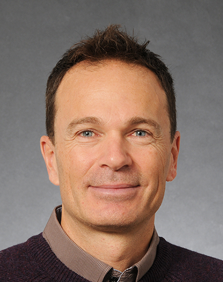
Christoph Rohner has been working as a Remote Sensing Specialist at swisstopo since 2020, specifically within the Image data and Crisis Information group. Previously, he received the B.Sc. and M.Sc. degrees in geography from the University of Zurich in 2012 and 2014, respectively. He is currently in the final stages of his Ph.D. degree with the RSL.

Francesco Wyss is part of the "Image data and Crisis Information" group at swisstopo, the Federal Office of Topography in Wabern. Within the Swiss National Point of Contact for satellite images he deals with the distribution and processing of satellite data. Francesco holds a master in Geography from the University of Zurich.