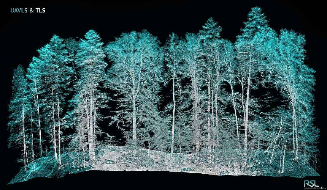
High Resolution Drone Observation

As lightweight aerial platforms, drones enable aerial photographs of two- and three-dimensional objects with the highest spatial resolution. Depending on the mission, both fixed-wing and copter drones can be used as sensor platforms. The sensors carried by the drones range from multi-spectral cameras and 3D laser scanners to imaging RADAR. The data collected can be primary, stand-alone data sources or serve as reference data for other platforms, e. g. satellite images.
The UZH Space Hub uses drones all over the world - for example to observe glaciers in Greenland, to measure changes in the plant population of Siberia, for habitat mapping in the Kalahari Desert and, of course, for various applications in Switzerland.
Contact
|
|
Dr. Felix Morsdorf |
